MOBA 3D-maticadd-on levelling system for dozers, graders, tracks or blades

MOBA 3D-matic

Absolute smoothness with every construction machine

Select System

Xsite PRO 3D

Boost your work and take the maximum out of your machine’s performance.

Select System

CHALLENGES FOR LARGE CONSTRUCTION PROJECTS


Productivity

The operator can only visually estimate the depth, grade and slope. Additional control measurements are required after each working step.

Machine Wear

Additional rework results in more operating hours for your machine. This increases wear and you will need a new machine earlier.

Operating Costs

Inefficient, uncontrolled leveling produces more passes, extended working hours and more CO2 and fuel consumption.

3D machine control for construction machines

01

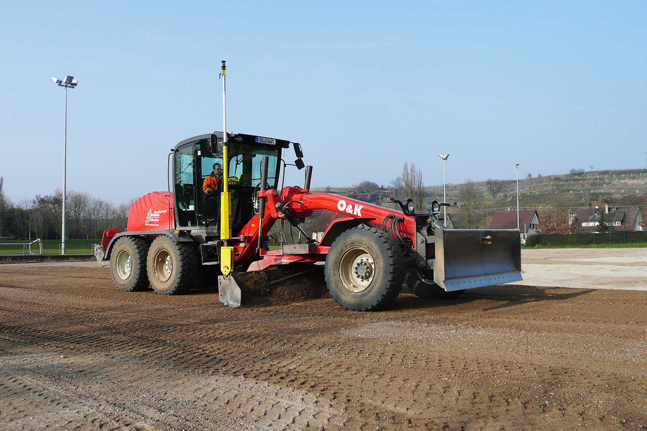
Add-on GPS Leveling system for Graders, dozers or Blades

MOBA 3D-matic

3D-matic’s strength lies in its simple and user-friendly way of creating 3D models in the field. It understands how to make the complexity of 3D models easy to understand and at the same time is packaged in a user-friendly design. Exactly working on specifications without manual control measurements speeds up your project completion many times over. In addition to considerable time and fuel savings, you also increase occupational safety on the construction site, as the machine operator no longer has to leave his cab.

PerformanceSafetyAssistenz

Download BrochureGet in Touch

POSITIONED FOR THE FUTURE

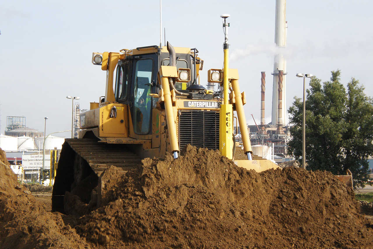
As an add-on levelling system for graders, tracks or blades, it is the perfect upgrade for any type of machine and can be retrofitted at any time. MOBA’s many years of expertise in levelling technologies will pay off for you, too. Thanks to an exceptional range of compatible sensors and CANbus-based communication, the modular system can be adapted to your individual requirements at any time. Choose between a GNSS antenna or a total station with prism for your personal project.  An investment in the 3D-matic is therefore an investment in your profitability.

bedienung_white

Easy to operate

While the ruggedized 7“ touchscreen color display is optimized for a use in harsh conditions, the software was specialized for a particularly user-friendly handling. As such, the split screen mode for example allows the operaotr to have different values in just one overview.

offene_Dateiformate_white

Open Data Formats

3D Terrain models can be easily imported or created on the machine itself.

3d_messung_white

3D Measuring

High-precision 3D sensors (GNSS antenna or prism with total station) that can calculate design deviations in real time. The components provide optimal performance as they are industry proven.


3D-matic System Components

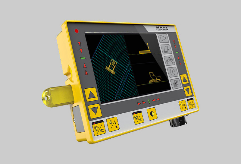
  • Operating Panel

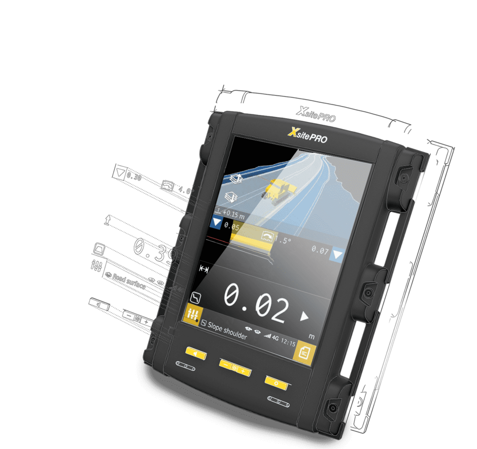
    Operating Panel

    While the ruggedized 7“ touchscreen color display is optimized for a use in harsh conditions, the software was specialized for a particularly user-friendly handling.

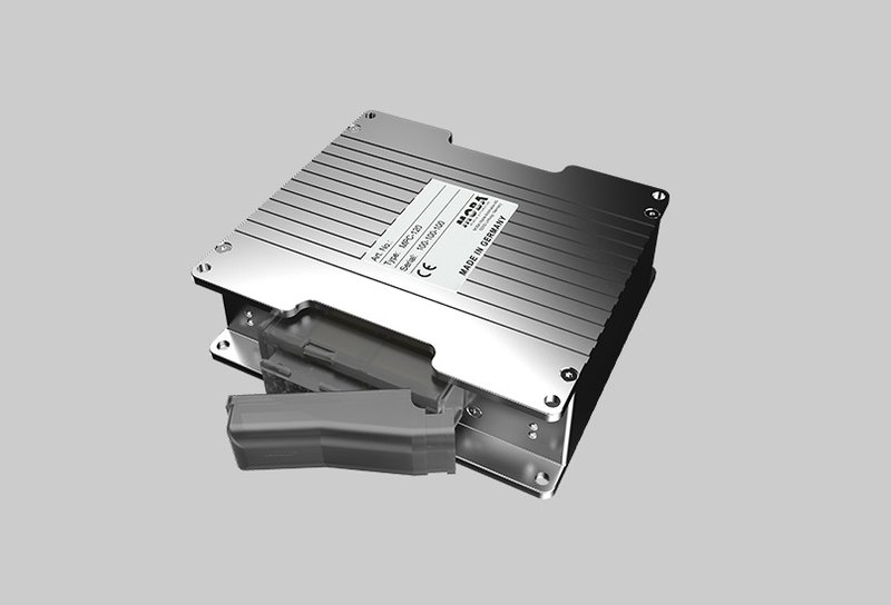
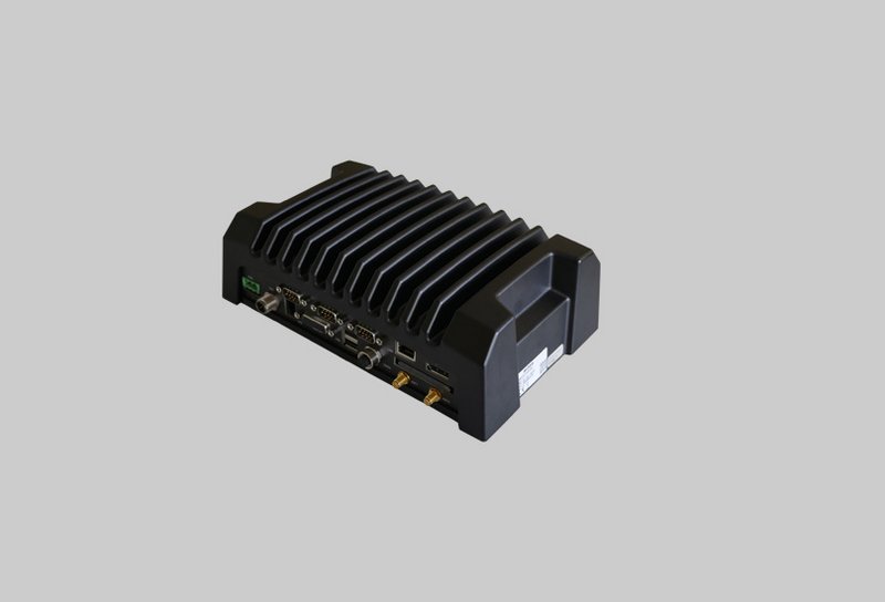
  • Controller

    Controller

    Processes all measured values of the sensors in real time

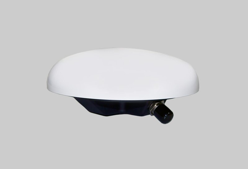
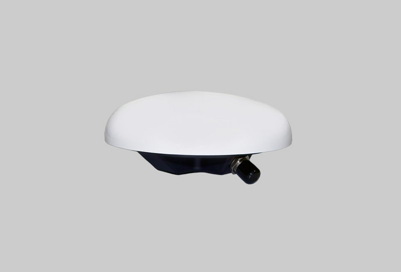
  • GNSS Antenna

    GNSS Antenna

    For exact positioning of the machine

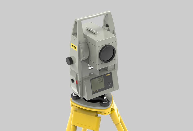
  • Totalstation

    Totalstation

    Measures the 3-dimensional position of the machine

  • Prism

    Prism

    Reflects the beam of the total station

02

High-end GPS machine control for optimum earthworks

Xsite PRO 3D

The Xsite® PRO 3D machine control system makes working with a dozer more effective and reduces your surveying, material and fuel costs. Your GPS control system guides you to set structural layers to the right elevation in one go. The large and clear touch screen and illustrative graphics enable the operator to for example easily monitor the difference in the elevation of the blade and the target surface. With the help of the machine control system the operator will find it easy to tackle any task. Special attention has been paid to designing the various Xsite® PRO 3D functions as easy to use as possible. Storing as-built data and selecting a model, for example, can be done by just one touch!

PerformanceSafetyAssistenz

download brochureGet in Touch

Developed for complex construction sites

With the Xsite® PRO 3D system you are always well equipped for all requirements of a construction site. Whether simple work or complex construction projects, MOBA 3D machine controls provide a perfect interaction between all components to provide a precise, efficient result. Thanks to the modular structure of the 3D software, Xsite® PRO can also be upgraded at any time. The Xsite® PRO system enables the smooth handling of network correction services, base stations and GNSS receivers from different manufacturers. This eliminates single manufacturer commitment and allows you to work on multiple projects without the risk of incompatibility. In addition, the system is compatible with third-party software such as BIM cloud providers. Different openBIM data formats can be used without conversion or compatibility problems. This gives you a significant market leadership position in a competitive market.

Easy to operate

The System has step-by-step guides to be as simple as possible to use. You can focus on productive work and you won´t have any trouble utilizing different functions.

mobilersupport_black

Remote Support

With remote support, your local reseller can provide you with guidance without having to visit the site. Remote support connects your system to the service centre and can be used to offer training, advice or troubleshooting.

liveupload_black

LIVE UPLOAD

Compatible with third-party cloud solutions such as file transfer and fleet management. If required, wireless data transfer also allows preparing the data from the office, whether for further development, documentation or support purposes.


Xsite PRO 3D System components

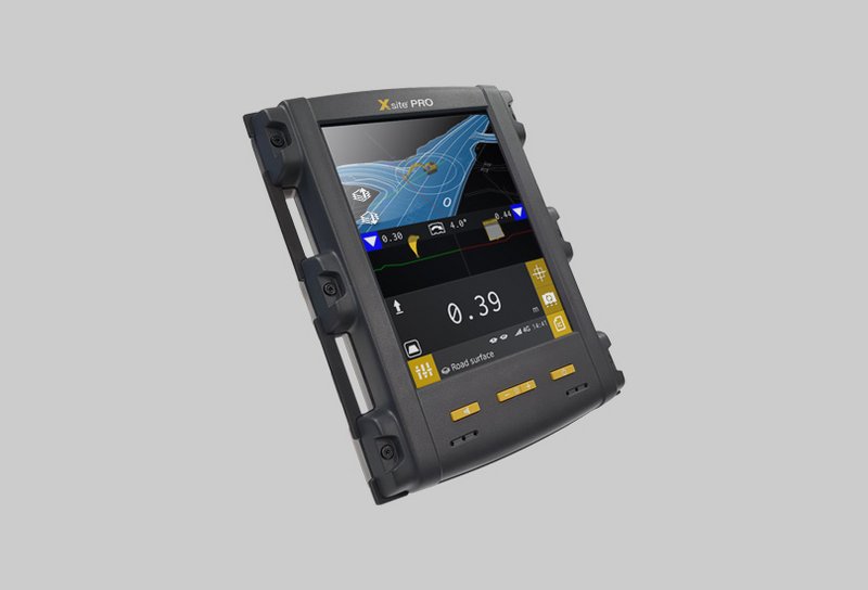
  • OPERATING PANEL

    OPERATING PANEL

    Rugged 8.4" touch screen display for optimal working experience with Xsite PRO 3D controls.

  • Controller

    Controller

    Real-time processing of all incoming position data from the connected sensors.

  • CROSS SLOPE SENSOR

    CROSS SLOPE SENSOR

    Dynamic detection of the coulter inclination, longitudinal machine inclination and coulter rotation, operates with a dynamic liquid sensor.

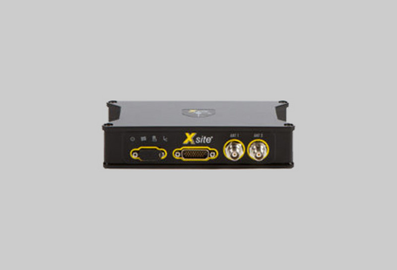
  • GNSS Receiver

    GNSS Receiver

    Works accurately with GPS, GLONASS, Beidou and Galileo satellite navigation systems and has 336 channels for multi-constellation GNSS support.

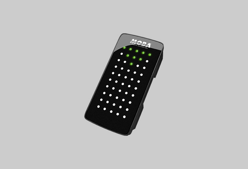
  • LED Display

    LED Display

    Additional LED display for fast detection of current dozer blade position.

  • GNSS Antenna

    GNSS Antenna

    Precise location in the terrain with GNSS coordinates. This reduces the surveying effort by up to 90% and optimises the user experience.

  • Controller

    Controller

    Integrated 2D and 3D control, which processes and compares all measured values of the connected sensors fast and accurately.